https://www.imosver.com/ca/ebooks/historic-maritime-maps-120-illustrations-E0002743362E0002743362HISTORIC MARITIME MAPS 120 ILLUSTRATIONS12.61In the Middle Ages, navigation relied upon a delicate balance between art and science. Whilst respecting the customs and the precautions of their forbearers, sailors had to count on their knowledge ofhttps://www.aglutinaeditores.com/media/resources/public/51/51ed/51edde0a51504178aa2392a9446740b2.jpgEbookEbook/HISTORIADisponiblePARKSTONE INTERNATIONAL000https://www.aglutinaeditores.com/media/resources/public/51/51ed/51edde0a51504178aa2392a9446740b2.jpg13.2750.662022/12/059781781608555DONALD WIGALEbookaño_2022engautor_DONALD WIGAL
Aquest tipus de galetes permeten a l'usuari la navegació a través d'una pàgina web, plataforma o aplicació i la utilització de les diferents opcions o serveis que hi hagi.
imosverlaravel_session
Descripció
Aquesta galeta és necessària perquè el lloc web funcioni i no es pot desactivar en els nostres sistemes.
Duració
Sesión
Dependències
Domini
imosver.com
OCT8NE
Descripció
Aquesta galeta s'utilitza per al correcte funcionament del Xat d'Oct8ne per prestar el servei d'atenció al client a l'usuari.
Són aquelles que possibiliten el seguiment i anàlisi del comportament dels usuaris a la nostra pàgina. La informació recollida s'utilitza per a la mesura de l'activitat dels usuaris al lloc web i l'elaboració de perfils de navegació dels usuaris.
_clsk
Descripció
Registra dades estadístiques del comportament del visitant a la web. Això s'utilitza per a anàlisis interns per part de l'operador del lloc web.
Duració
1 any
Dependències
_clsk,MUID,_clck
Domini
logglytrackingsession
Descripció
Identifica i registra la sessió de l'usuari amb finalitats analítiques.
Duració
Sesión
Dependències
Domini
.imosver.com
GOOGLE_ANALYTICS
Descripció
Registra una identificació única que s'utilitza per generar dades estadístiques sobre com utilitza el visitant el lloc web.
Duració
1 any
Dependències
Domini
.imosver.com
Són aquelles que ens permeten adaptar la navegació a la nostra pàgina web a les seves preferències (per exemple, idioma, navegador utilitzat, etc.).
_fbp
Descripció
Utilitzat per Facebook per oferir una sèrie de productes publicitaris, com ara ofertes en temps real de tercers anunciants.
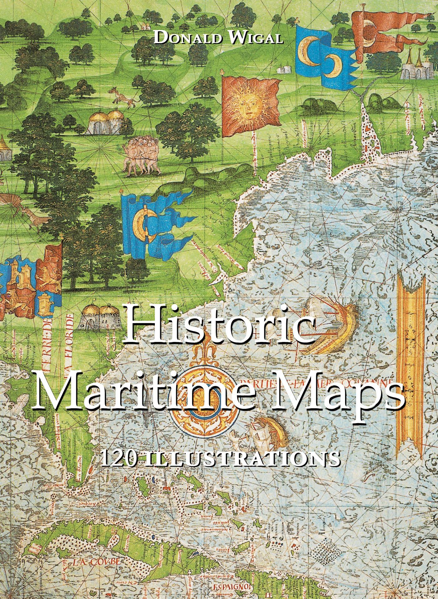
In the Middle Ages, navigation relied upon a delicate balance between art and science. Whilst respecting the customs and the precautions of their forbearers, sailors had to count on their knowledge of the stars, the winds, the currents, and even of migratory flights. They also used hand-painted maps, which, although certainly summary, were marvellously well-drawn. In following the saga of old sailors, from Eric Le Rouge to Robert Peary, Donald Wigal leads us in discovering the New World. This magnificent overview of maps dating from the 10th to the 18th centuries, often ‘primitive’ and sometimes difficult to understand, retraces the progress of cartography and shows the incredible courage of men who endeavoured to conquer the seas with tools whose geographical accuracy often left much to be desired.