Catalan
Synopsis Néouvielle
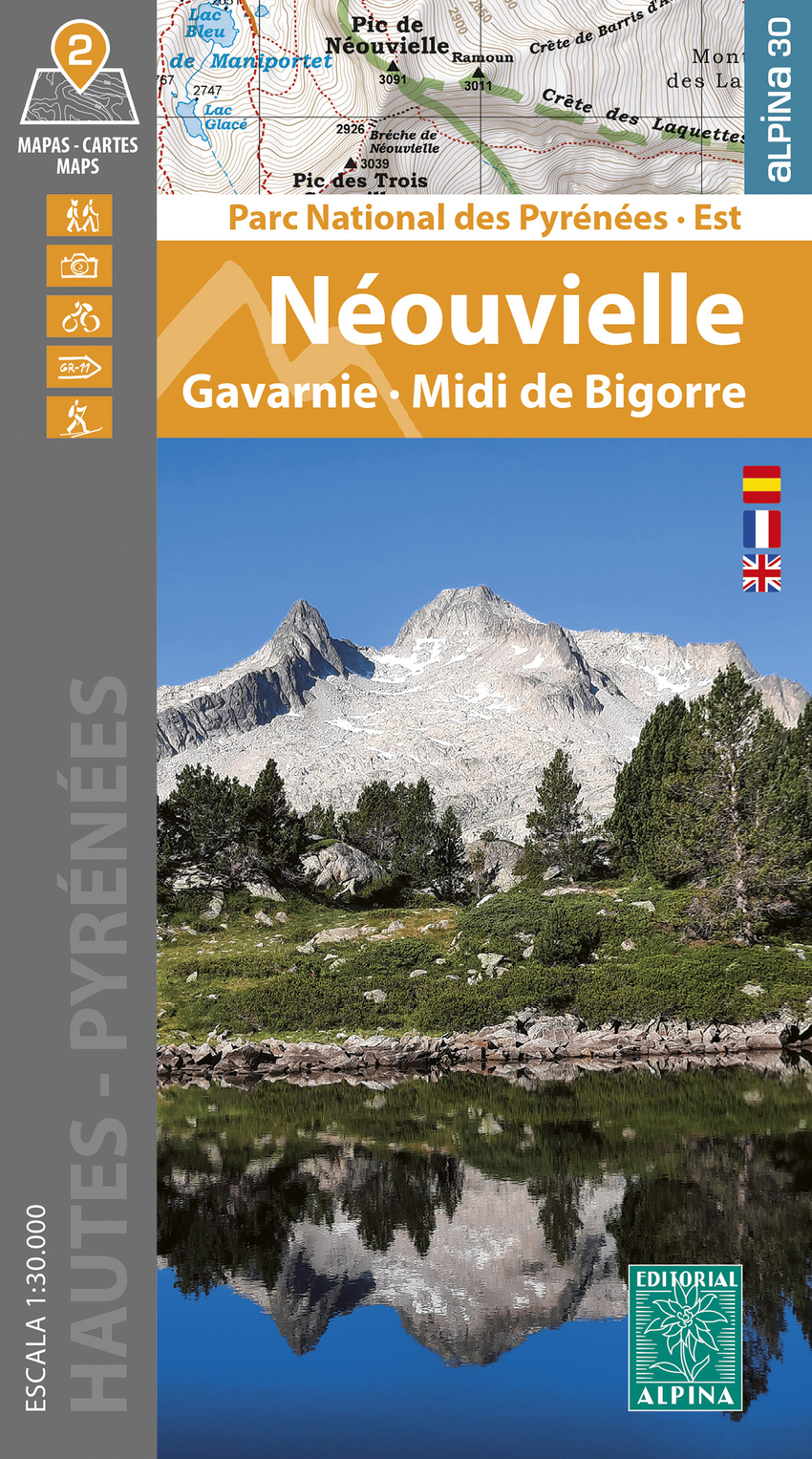
El Parc National des Pyrénées se extiende a lo largo de cien kilómetros, seis valles, dos departamentos (Pyrénées-Atlantiques y Hautes-Pyrénées) y dos regiones (Nueva Aquitania y Occitania), siguiendo la frontera que lo une con España. Estos dos mapas comprenden el sector oriental del parque, con la Réserve Naturelle Nationale du Néouvielle, los circos de Gavarnie, Estaubé, Troumouse y Barroude. El emblemático Pic du Midi de Bigorre completa la parte norte de la zona cartografiada. Ámbito de los mapas: Parc National des Pyrénées. Hautes Pyrénées. Sector Néouvielle, Gavarnie y Midi de Bigorre. Características de los mapas: mapas topográ cos a escala 1:30.000, con información de interés excursionista: refugios, senderos señalizados (GR's, PR's, senderos locales), itinerarios de ascensión a las cumbres, accesos a bases de excursión, etc. Carpeta desplegable: 20 Excursiones Información general Puntos de interés
EAN
9788470110931
Editorial
Year of edition
2024
pages
2
Binding
Mapa en hojas, plano
Idiom
Catalan
nº colección
PNP E
Collection
CARPETA ALPINA (inclou varis mapes)
High
210
Width
120